Community Planning Area
Located south of Dutch Road and west of the Anthony Wayne Trail, the Community Planning Area is a strategic growth zone bridging the Township and the City. The district is defined by a massive 120-acre city-owned parcel at the southern end of Choctaw Road. While originally considered for business park expansion, the 2025 Plan identifies this site as the ideal location for future public, recreational, and residential development, serving as a buffer between commercial corridors and established neighborhoods.
Strategic Initiatives
Strategic Site Development
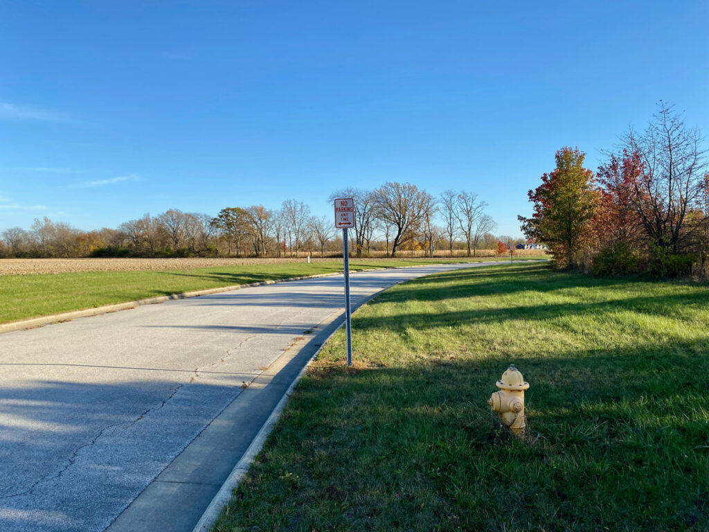
The City owns a strategic 120-acre tract at the southern terminus of Choctaw Road. The comprehensive plan prioritizes this site for a mix of single-family residential, multi-family housing (specifically on the 14 acres east of the rail line), and public/recreational uses. We are actively seeking a site plan that maximizes this land’s potential to provide housing for young professionals while expanding community green space.
Connectivity: The Choctaw Extension

A critical infrastructure priority is the extension of Choctaw Road southward to connect with Wilkshire Drive (Strategy CC-4). This project will eliminate the current dead-end at the roundabout and link the northern residential neighborhoods directly to the Dutch Road corridor. This connection improves emergency access, traffic circulation, and the commercial viability of the entire district.
Partner in Growth
Discuss development proposals for the City-owned property.